How to remember declination
A nice tip from Don Geary's excellent 'The Compleat Outdoorsman' (this is the correct spelling which makes me like it even more.) This excellent book from 1981 is an all encompassing guide to the outdoors.
Tip 002 – How to remember magnetic declination.
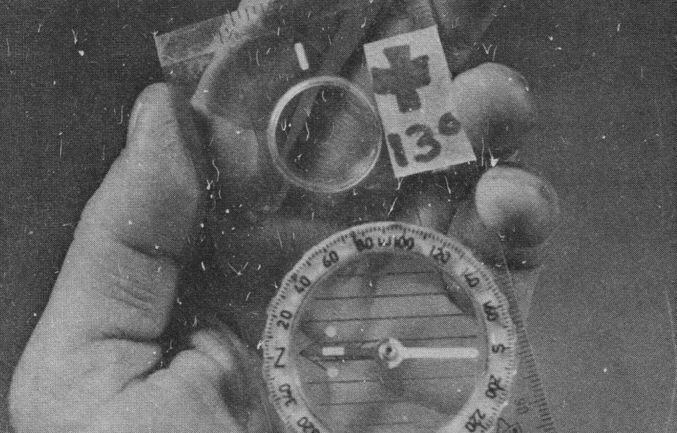
“One way to remember to add (or subtract) the degrees of magnetic declination for an area you are hiking in is to place a piece of tape on the compass telling you what must be done.”
To find the correct declination for you area, or indeed, for the area you plan to hike in visit the excellent National Gyphisical Data Center. Even if you think you know it's best to re-check as it changes year to year. In Maine I get 'Declination = 15° 44' W changing by 0° 4' E/year'.
As it's a West declination 'Map bearing + Declination = Magnetic' so if I take a bearing between two point on a map and translate it to the real world I add 15° 44' and on the flip-side 'Magnetic Bearing - Declination = Map Bearing' if I take a bearing between two points (myself and another) in the real world I should subtract my declination to get the same bearing on the map.